The Enisei (aka Енисей, Yenisei, Yenisey) River is the largest river flowing to the Arctic Ocean--actually the Kara Sea--and one of the world's largest rivers (twelfth longest; sixth largest river in terms of discharge--these rankings change depending on who is doing the measuring). Generally, the Enisei flows from south to north across central Siberia, originating in Tuva (a federal republic of Russia, located in extreme southern Siberia on the border with Mongolia), traversing first steppe grasslands, then taiga and finally tundra.
Russians first settled on the Enisei in the early seventeenth century with the major settlements founded at Krasnoiarsk (Красноярск in 1626--Krasnoiarsk is presently the third largest city in Siberia--and Irkutsk in 1652.
Before the numerous hydroelectric dams were built on the river and its tributaries, "violent spring floods are followed first by a rapid fall of levels, then by a slower fall, with summer and autumn rain floods punctuating the sequence; in winter the runoff is reduced sharply, but levels remain high as ice jams are formed." (Encyclopedia Britannica)
Traditionally, in olden days, the river was the center of the Siberian fur trade as well as hunting and fishing activities, but in the last fifty years or so there has been significant industrial development along the river, particularly at Norilsk, Krasnoiarsk, Irkutsk and Bratsk. Industry has been made possible by a series of massive hydroelectric dams on the Enisei and its major tributary, the Angara, such as those built at Krasnoyarsk, Bratsk and Sayan.
There are a number of river cruise operations that you can take along different stretches of the river.
![]()

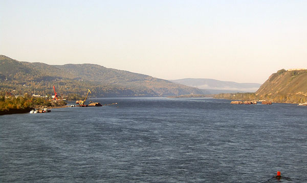
This is a view of the Enisei River in the vicinity of Krasnoiarsk.

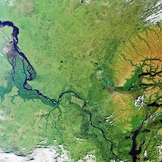
In this image, from an orbital satellite, the Enisei River is seen flowing from
southeast (lower right corner) to the northwest (upper left corner) through the heart of central Siberia.

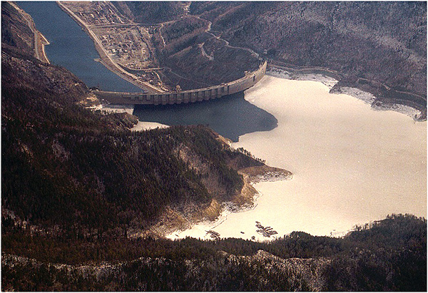
The Sayano-Shushenskaia Dam, 242 m. (about the same height as Hoover Dam but far more powerful), completed in 1989, powers Russia's largest hydroelectric plant (about 6400 mw). It is located about 150 km. upstream from Abakan in Russia's Khakassia Republic in south-central Siberia. The dam is currently the object of an ownership dispute between the republic and the "Russian corporation," which assumed ownership when the dam was "privatized" after the collapse of the Soviet Union.