Russia (Siberia) has a very long Pacific coastline--my best estimate is that it is over three thousand miles long--running from about the Arctic Circle down to Vladivostok (which is about the same latitude as Boston). There is some evidence that Cossacks reached the Pacific Ocean as early as the 1630s, but the first confirmed date is in 1648 when Semyon Dezhnev made it to the Bering Strait--although it was not called that yet. This information about the Strait was basically lost by the Russian government until Vitus Bering (a Dane) reached the Strait in a Russian government-sponsored 1733-43 expedition.

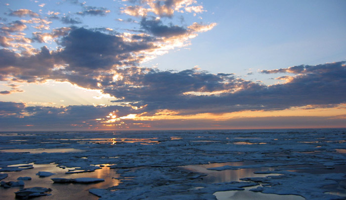
A Chukchi sunset over the North Pacific
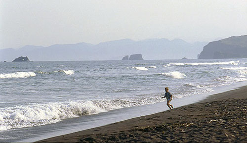
It is not surprising that there are a diversity of climates along the coast (running from taiga to tundra in the north). There are also beaches for vacationing.

Black sand beach near Petropavlovsk
![]()
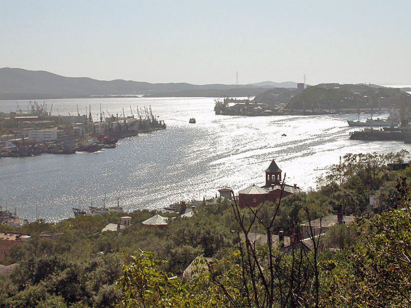
Vladivostok and Golden Horn Bay
Vladivostok (Владивосток) is Russia's largest port on the Pacific coast, located less than one hundred miles east of the Chinese border and across the Sea of Japan from Japan. The area was originally ceded by China to Russia as a result of the Treaty of Aigun (1858) and then confirmed in the Treaty of Peking (1860) By 1862, a Russian military outpost and port had been established under the name of "Vladivostok" ("Ruler of the East") on what came to be called "Golden Horn Bay," so named after its resemblance to the Golden Horn in Istanbul. Vladivostok became Russia's main naval base in the east after Port Arthur fell to the Japanese in January 1905. Because of the naval base, the city was closed to all non-Russians from 1958 until 1991.
The Trans-Siberian Railway, finished in 1905, connected Moscow and the rest of European Russia with Vladivostok--over 5,000 miles.

![]()
Kamchatka
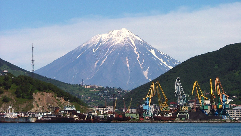
The Kamchatka Peninsula (полуостров Камчатка) juts out for almost a thousand miles into the Pacific Ocean from the Siberian coast. The Peninsula is surrounded by the Sea of Okhotsk on the west, and the Bering Sea and Pacific Ocean on the east. The entire peninsula and its Central Valley are filled with over 150 volcanoes; 29 are still active, making Kamchatka easily part of the "Ring of Fire" around the Pacific rim. The highest volcano on the peninsula is Kliuchevskaia (Ключевская сопка) at 15,584 ft., while the most striking is Kronotskaia (Кроноцкая сопка) at 11,570 ft.

View of Petropavlovsk-Kamchatsky's harbor with Koriaskaia (Корякская Сопка) rising in the background.