The Ural Mountains have long been considered the traditional boundary/dividing line between Europe and Asia.

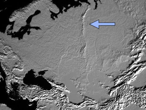
Ural Mountains from space.
The Ural Mountains (Уральские горы) as a mountain range run roughly north and south through Russia to Kazakhstan for a little more than 1,500 mi. The highest peak is Mount Narodnaia (about 6,200 ft.), while the average height varies considerably but is often in the 3,000 to 4,000 ft. range. Geographically the Urals are often divided into five parts: Southern, Middle, Northern, Pre-Polar (the highest) and Polar.
The Ural Mountains are among the world's oldest mountains, 300 to 250 million years old, and erosion has lowered them considerably. In many places, the mountains are little more than hills. In many respects, the Urals remind me of the Appalachian Mountains in the eastern United States, also old and considerably eroded. The Urals do not form a natural barrier between Europe and Asia. For example, the mountains did not hinder the Mongol invasion of Russia in the thirteenth century.
The Central Urals contain important mineral and metal deposits, such as iron, copper, chromium, nickel, coal and oil, and it is one of the most industrialized regions of Russia, especially around the cities of Perm, Cheliabinsk, Ekaterinburg and Magnitogorsk.

![]()

The Pre-Polar Urals
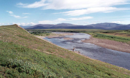
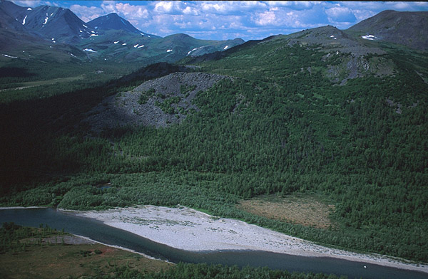
The most northerly section of the Ural Mountains is known as the "Pre-Polar" and "Polar Urals." The mountain range in the north tends to be generally higher and subject to a more extreme tundra-like climate, with summer lasting only around a month. The Polar Urals are mostly uninhabited.